Warth Schroecken
Lechweg

Lechweg package - 4 stages - 1 accommodation.

From source to the fall.

Situated in the middle of the Lechweg region, Warth is the ideal starting point for the first three to four stages of the day. If you stay 4 nights in Warth, you will also receive the Warth Card, which allows you free use of the hiking bus to Lech and to Elbigenalp in the Lech Valley.

Available to book: 21.06. - 13.10.2024

  • Lechweg Walserhus

  • Lechweg between Lech and Warth

  • Lechweg direction Höhiwald

  • Lechweg Seebachsee

Package services.

  • 4 nights in Warth-Schröcken in the category of your choice.
  • Inclusive cards for free use of the mountain railways and hiking buses.
  • Individual hiking of the first 4 Lechweg stages.
  • Individual hiking of the Lechschleifen.
  • Free hiking map.

The 4 stages.

1. stage Formarinsee to Lech a. Arlberg – 14.5 km.

  • Length: 14.5 km
  • Terrain: easy mountain path
  • Altitude: at 98 m; from 518 m
  • Hiking time: approx. 5 hours
  • Short description: On easy mountain paths the Lechweg meanders through the Lech spring area until the Formarinbach and the Spullerbach join to form the young Lech. Arrived in Lech, take the hiking bus to Warth.

2. stage Lech am Arlberg to Warth – 10.5 km.

  • Length: 10.5 km
  • Terrain: challenging mountain path
  • Altimeter: at 411 m; from 354m
  • Walking time: approx. 3.5 hours
  • Short description: The second stage of Lechweg takes you by hiking bus up to above Lech am Arlberg and on foot to Grenztobel, the municipal border between Lech and Warth. You cross the Geißbrücke and walk steadily uphill to the Walserdorf Warth at 1,500 m. Directly at the entrance of the village, the natural lake Seebachsee and the highest dairy and butcher’s shop in Vorarlberg invite you to rest.

3. stage Warth to Steeg – 15.5 km.

  • Length: 15.5 km
  • Terrain: easy mountain and hiking trail
  • Altitude: at 197 m; from 580 m
  • Hiking time: approx. 5 hours
  • Short description: You hike along the panoramic path towards Steeg. There are wonderful views into the Lechtal valley. On the old main road some winding bends lead down to the Lech. Along the Lechufer you walk over a bridge to the village of Steeg, from where you take the hiking bus back to Warth.

4. Stage Steeg to Bach – 15.5 km.

  • Length: 15.5 km
  • Terrain: challenging hiking trail
  • Altimeter: at 471 m; from 533 m
  • Hiking time: approx. 6 hours
  • Short description: The hiking bus takes you back to the entrance in Steeg. A dirt road leads to Hägerau. From there you hike along the Jochweg to Holzgau. For those who are not dizzy, the Lechweg leads over a spectacular pedestrian suspension bridge. If you are not free of dizziness, hike into the Höhenbachtal valley on the original route and pass the Simms waterfall. On wooden footbridges you continue over the landscape jewel Schigge towards Stockach from where you walk steadily uphill to the valley station of the Jöchelspitzbahn in the Benglerwald. From there, the long-distance hiking trail leads you over the Modertal Gorge to Seesumpf and further down to Bach.

All information about the Lechweg can be found here.

All information about the Lechweg can be found here.

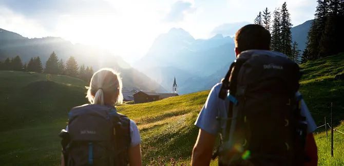
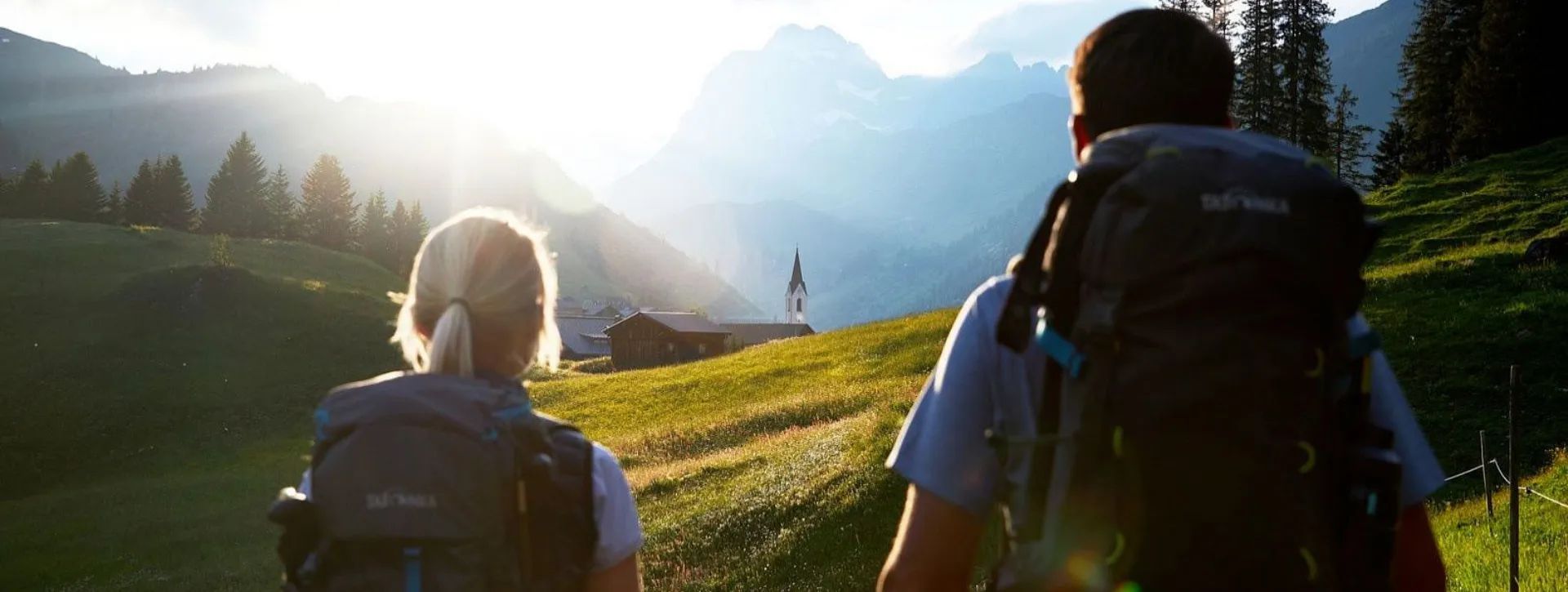
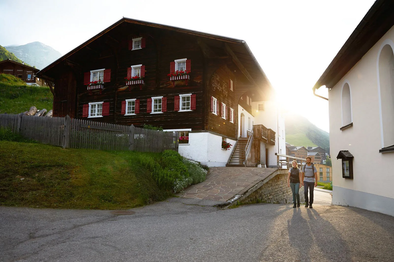
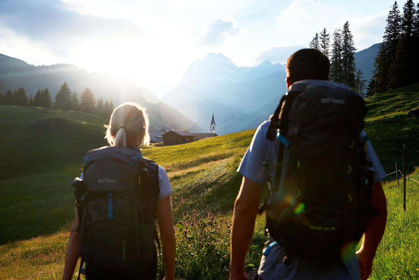
The Lechweg is a medium-difficult long-distance hiking trail and leads through our Alpine region, which is also one of the last wild river landscapes in Europe. An untamed Lech, people shaped by the countryside and legendary stories are waiting for you!

Details

Your enquiry for the Lechweg package.

Your holiday dates.

arrow_drop_down
arrow_drop_down
arrow_drop_down

Your contact dates.

arrow_drop_down

Data protection

I accept the data protection regulations

BookTickets

Please note the current traffic situation

  • L200 Bregenzerwald
  • B198 Reutte
  • L198 Lech
Show details